


Calumet River Hydrological Profile
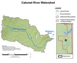
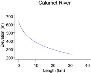
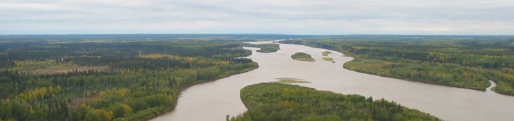
Similar to the Tar River, the Calumet River collects water from the southeast slopes of the Birch Mountains in the upper reaches and, in the lower reaches, flows eastward toward the Athabasca River through a muskeg-dominated landscape. The 173 km² drainage basin varies in elevation from about 610 m in the headwaters to 225 m when it reaches the Athabasca River. Flows in the Calumet River near the mouth are recorded by CNRL (Canadian Resources Limited) at station CR-1. Previous to 2005, flows were recorded by RAMP (station S16).
Online Hydrographs
View online hydrographs of the Calumet River in the Interactive Features section.